Grid Cartograms
last updated: Oct 20, 2023
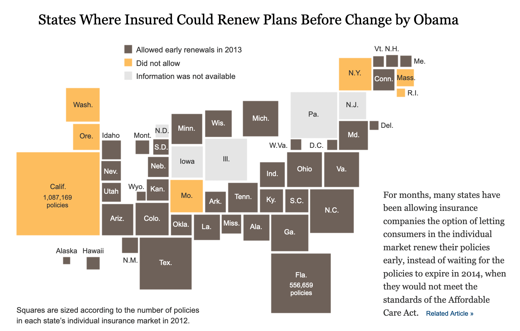
I'm interested in the creation of grid cartograms, where the areas are not equally-sized, that automatically minimize distance from their proper space on the map.
i.e. this map, which I think was made by hand:
Found that image here: https://medium.com/civic-tech-thoughts-from-joshdata/how-that-map-you-saw-on-538-under-represents-minorities-by-half-and-other-reasons-to-consider-a-4a98f89cbbb1
which I found from here: https://observablehq.com/@severo/grid-cartograms
I'd like to not use force-layout, but it seems like the only option I can think of?
